Following in the footsteps of HSBC and Lloyds banks, Barclays Bank is closing its doors for the last time on 15th October 2021 leaving NatWest as the remaining clearing bank in Rainham. The building housing Barclays bank was sold in 2016 and rented back to them so it's unclear what will happen to it now. Barclays Bank in Gillingham closed in 2016 and old photos of that can be seen here: Barclays Bank Gillingham History & Old Photos
The London and Provincial Bank Ltd opened a Rainham branch as a sub agency to Chatham in July 1899. The bank mainly catered for small tradesmen and private customers with limited means, and confined its attention to the London suburbs, South Wales and the Eastern Counties, it was not until 1891 that a branch was opened at a leading commercial centre outside the London area, in Bristol. In 1917 the bank amalgamated with one of its formidable rivals, the London and South Western Bank, to form The London, Provincial and South Western Bank which subsequently merged with Barclays in 1918.
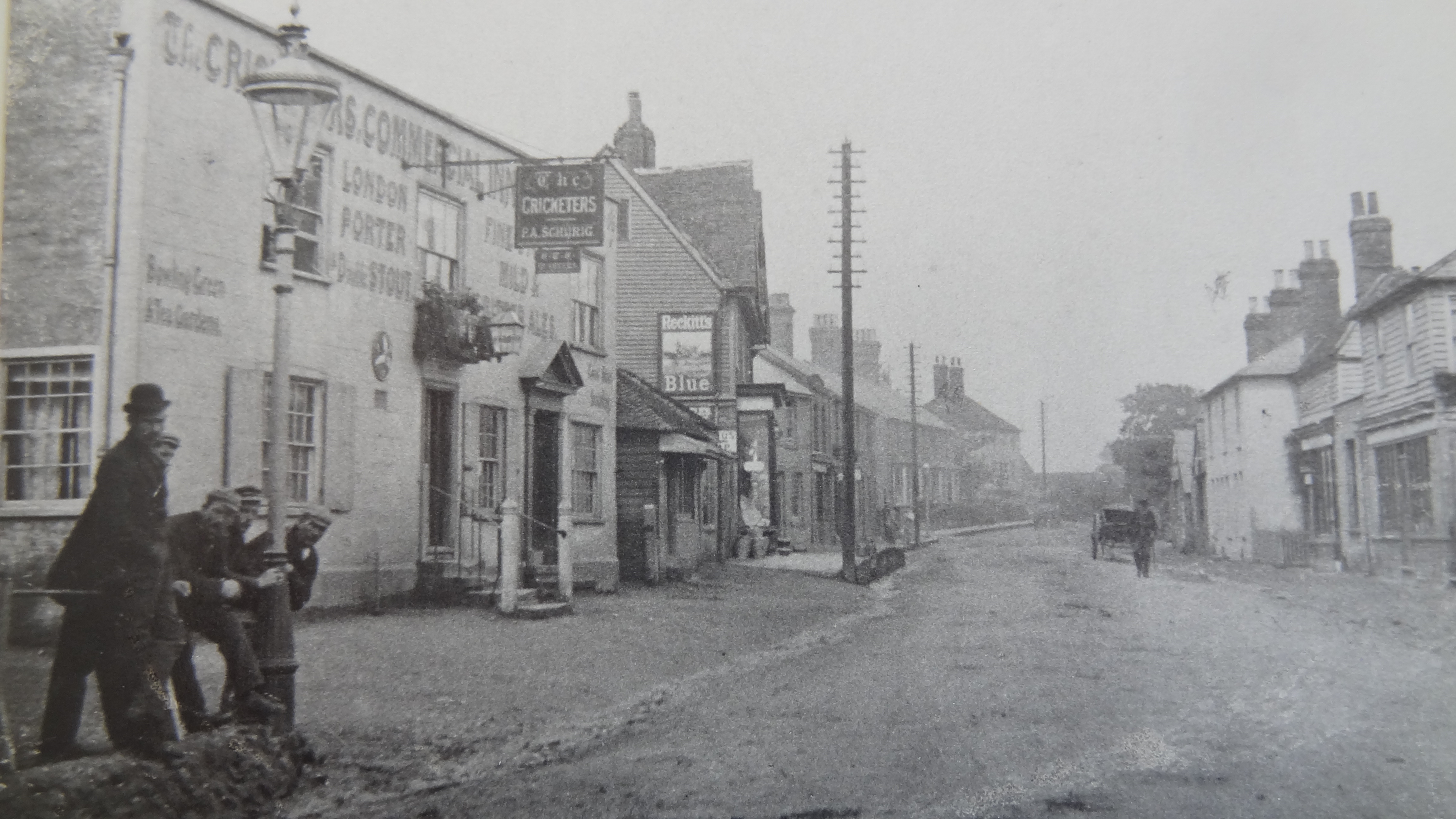
It was not until 1902 that Rainham acquired its own premises originally based in one of the shops next to the Post Office. The London and Provincial Board minutes of 14th October 1902 state that the Branch manager had written to the Board, on the 10th October 1902, suggesting the purchase of a site for the building of branch premises. “Rainham. Premises. With reference to Board minutes of 14th inst. Letter of 20th from Mr Long (Inspector) concurring in Branch Manager's recommendation that the freehold property at corner of High Street and Station Road be purchased for £475, but that the question of building there on, be allowed to stand for the present to be purchased.”
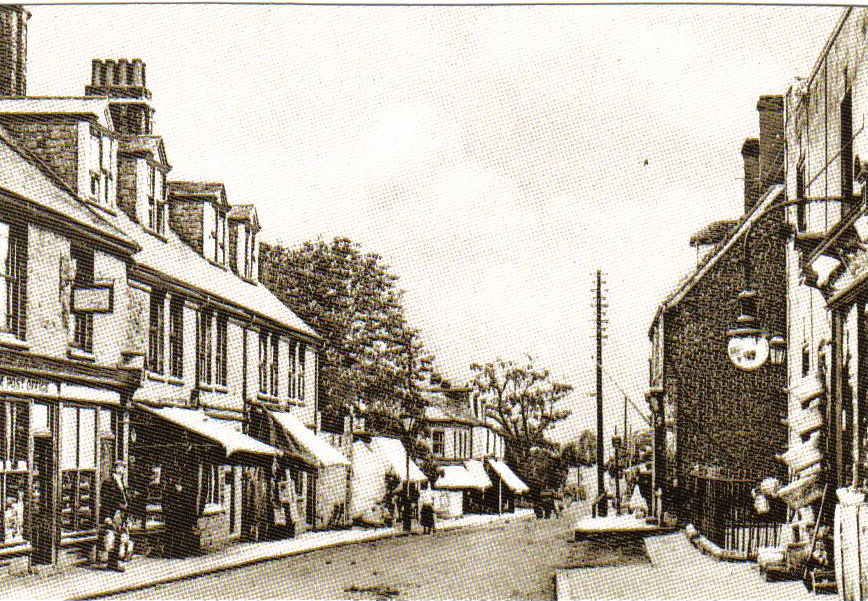
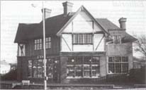
Photo above of the location of the first Barclays Bank branch in Rainham which would have been the premises between the shops with canopies extended.
The changes in Rainham branch's premises are recorded in the Barclays Schedule of Title Deeds. This shows that the branch was originally located at “Myrtle Cottage”, High Street opposite what is now JCB Citroen. The London and Provincial Bank obtained the land adjacent to this building in 1902, presumably because they were occupying the building. In 1913 a tenancy was granted to the London and Provincial Bank for 14 years at a rent of £30 per annum and in 1926 this tenancy was renewed at £42 per annum.
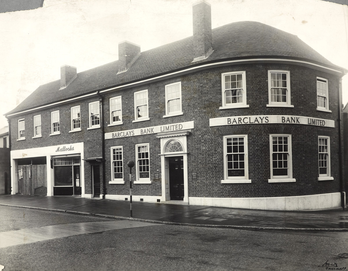
In July 1938 Barclays Bank at Rainham moved to new purpose built premises 89-93 High Street on the corner of Station Road where it has remained since. Originally 89-91 High Street was rented out to other businesses (shown in the cover photo as Mattocks Sweet shop in the 1950s) but these became part of the bank itself in the late 1960s. The Coronation clock was attached to the wall in 1953 so the photo above from the 1940s was taken prior to that happening.
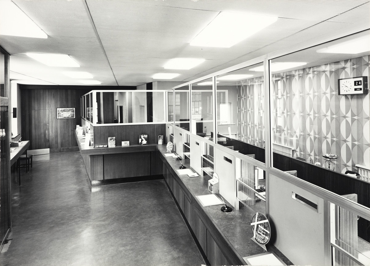
Interior photo of Barclays Bank Rainham taken on 24th June 1967
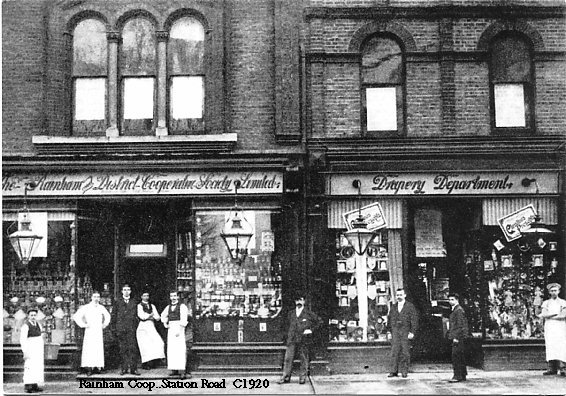
The church school was adjacent to Barclays bank on Station Road before Rainham Shopping centre was built and you can just see the edge of it in the photo.
There have been other minor changes to the building over the years with the entrance being moved further to the left and the cash machine that was in the wall on the corner of Station Road moved to the far left of the bank building on High Street in the mid 2000s. You can also see the differences in the Barclays Bank signs in the various photos over the years.
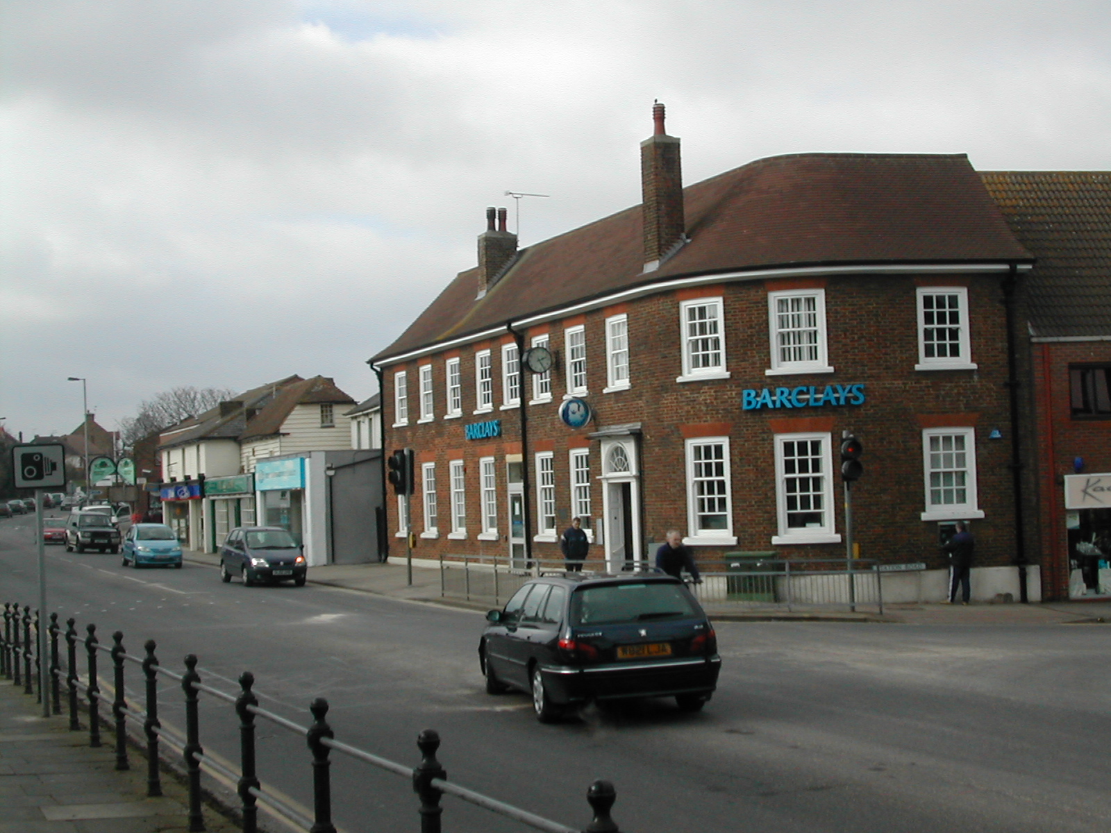
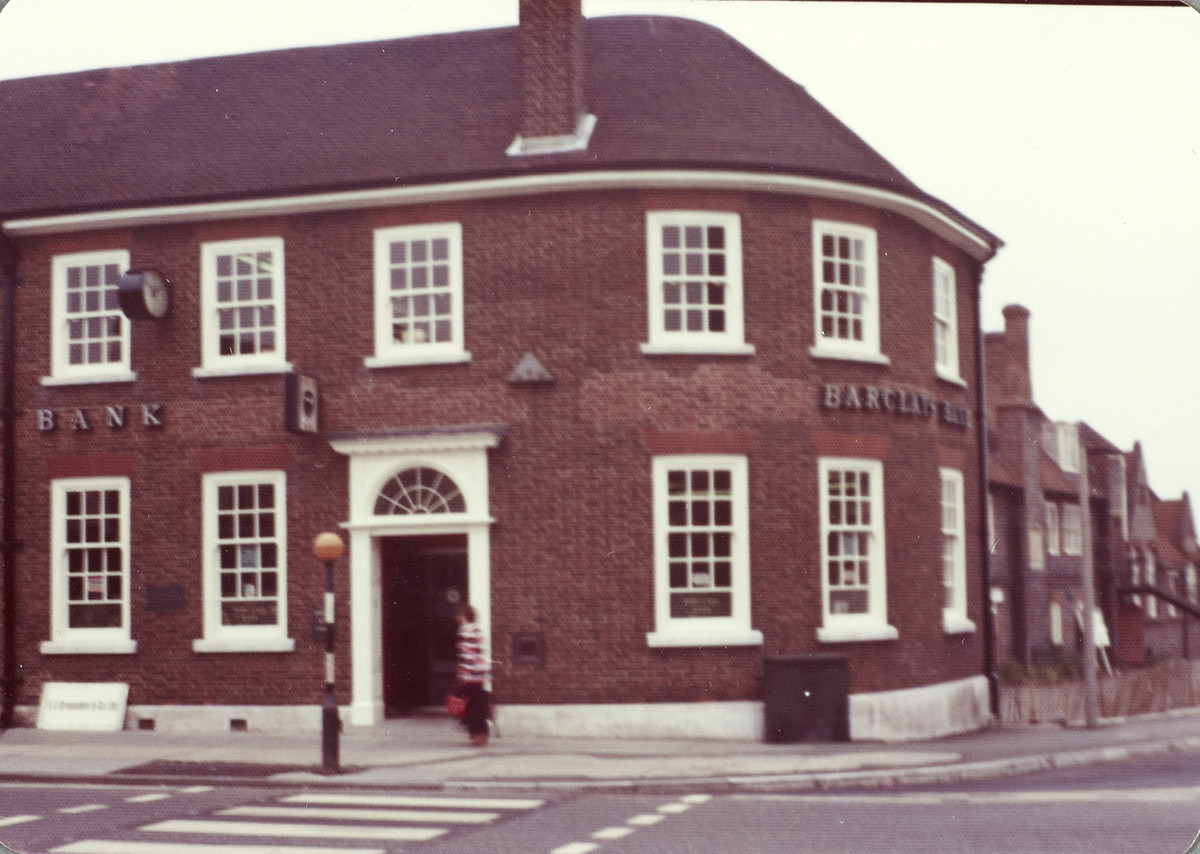
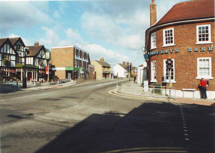
Below: Barclays Bank Rainham in 2001

Below: Barclays Bank Rainham in 2001
Below: Barclays Bank Rainham in 2003