History Articles

History Articles

The pushchair was tantalisingly out of reach, hanging, draped in coal dust - covered cobwebs, from the rafters of the outhouse. Despite standing on the unstable mound of a couple of hundredweight of nutty slack the boy could not touch this object of desire. "Mum, can I have the pushchair that's in the coal shed?" "Why?" "Because I want the wheels". "What for?" "To make a barrow. Can I Mum?" "No, it may be needed again some day". What could it be wanted for? After all, I had long been able to get around on my own two feet. It took some years for the penny to drop! And it never was needed again. A four-wheeled soap-box, with rope steering and a wooden block hand brake which pressed onto a rear Wheel tyre, and based on two planks and a box was the dream of many a lad. But it took a lot of searching to find a couple of pram axles complete with wheels. We convinced ourselves it was better to have small wheels at the front, large at the rear, because finding two axles with same size wheels was highly unlikely. My friends Ivan and Brian Baldock's dad was a good bet for the planks, as he always had a good supply of timber to be sawn and split for fire lighting. We would help with this chore to remain in his good books. All that then remained was to get Father to part with a decent fruit box. This was almost impossible. Every bushel box had stencilled upon it the name of the London market commission agents who sold our produce. They loaned the boxes free, but this was on the understanding that any not eventually returned would have to be paid for, to the tune of 4 or 5 shillings, so the best we could hope for was a broken one.

Once we had a barrow up and running we felt we had moved on from the worn -out motorcycle tyre and a 15-inch baton with which to bowl it along. Now we Could have fun. Except that for every free ride one person had, another had to do the pushing.


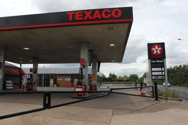
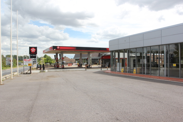
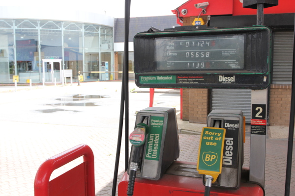
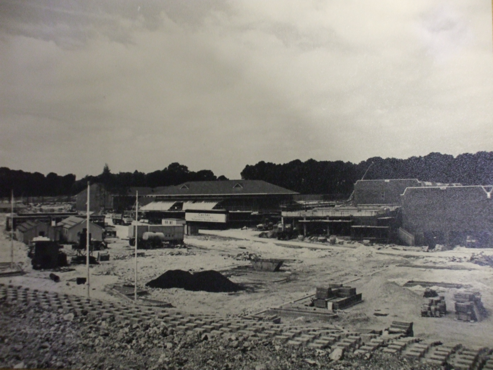
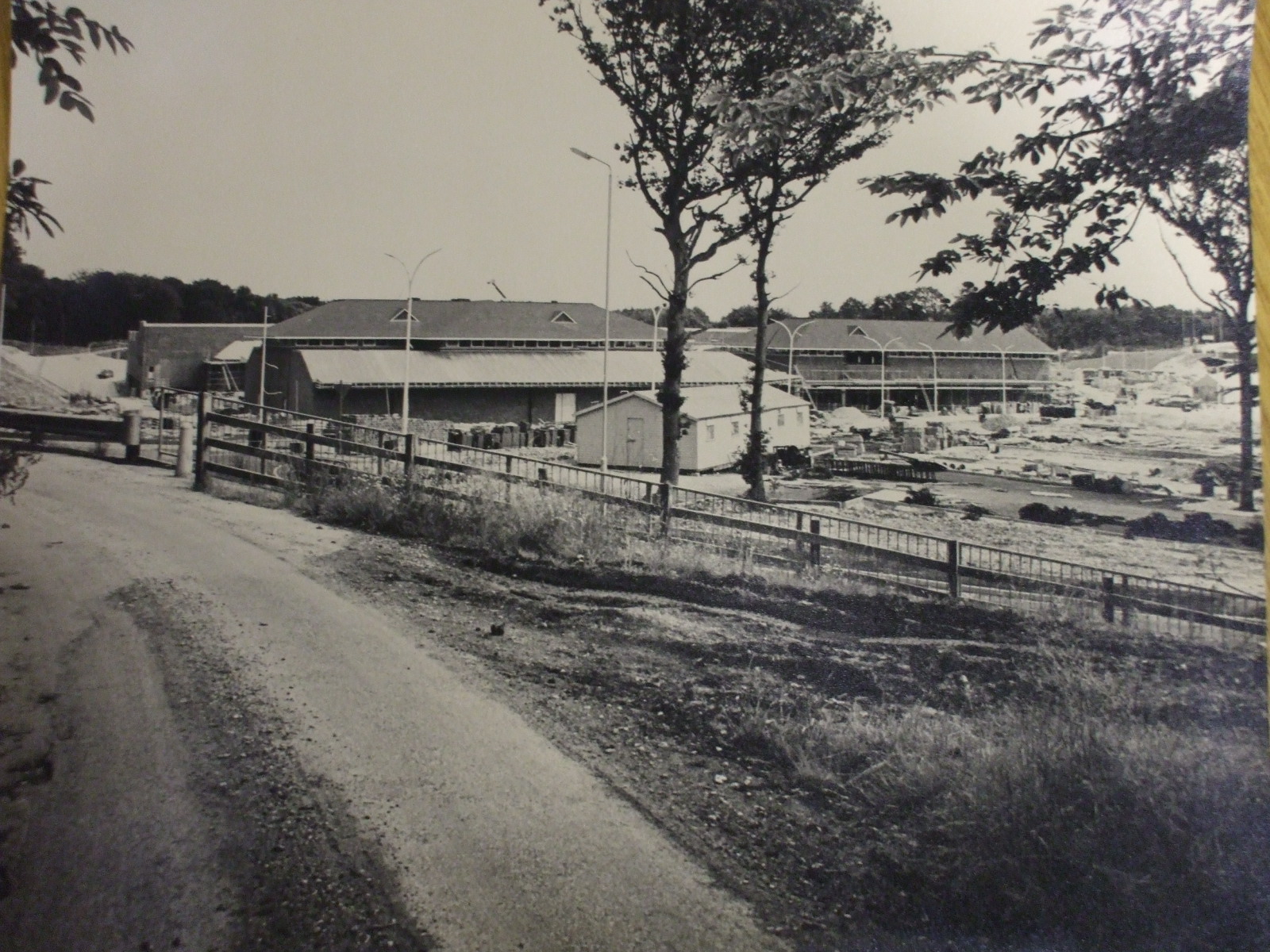
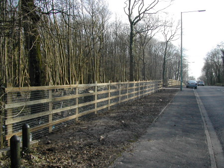
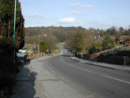
Pump Lane, Cutters Lane bridle path and the orchards of Bloors and Pump Farms were our playground. It was perfectly safe to play football at the junction of these lanes, which formed a sizeable triangle, because so few vehicles passed, and we knew when the regulars would be along. The arrivals of milkman, baker, coal merchant, grocer, hardware van, even the bicycle - mounted insurance agent were never a surprise, so predictable were they. This was not so with the lorries, but we could hear them coming from a long way off. The Pump Farm buildings were an unattractive lot, to put it mildly. The only ones with any character (a single rounded oast, some cart sheds and a fairly large single storey store) were in a neglected and dilapidated state. The rest were of metal framed and corrugated sheet construction. The largest was of almost aircraft hanger size and appearance, dominating the site, with smaller lean-to additions, and a small separate building used as an office. This was no longer a farmyard. It was, from I believe the 1930's, a road haulage depot, an out-post of Mr Greenwood's transport company of Ramsey in Huntingdonshire (now Cambridgeshire).

The locally based lorries, running under the name Medway Transport were A.E.C. 6 and 8 wheeled flatbeds; a lorry and trailer, and several ex--army Bedford 5 tonners. Maintenance man and Jack-of-all-trades Austin Clark, a member of the family who have owned this farm and its surrounding land for many years, had converted these in house. He removed the original metal drop-side bodies and built on wooden platform ones. Frank: Rose tells me that when delivering groceries he would sometimes see Austin repairing the lorries' tarpaulin sheets by hand. The comings and goings of these vehicles, resplendent in their dark brown livery with orange sign writing were of great interest to us boys, as some of the drivers, including the late Don Clark, who wrote several pieces for A.F., and the late Alfred Smith, elder son of "Pop" and Sue Smith who I have mentioned in a previous article, were well known to us.

We found it fascinating to think: that when we heard Alf s 15 former groaning up the lane late on a Friday afternoon, this was the end of a return trip to Scotland that began on Monday morning. Bear in mind that the speed limit for that class of vehicle at that time was 20 mph, and the speed achieved on a long uphill drag when loaded was little more than walking pace. Alf served in the R.A.F. during WW2, and with his hgv experience was given the job of driving a "Queen Mary", the articulated 60 foot long aircraft recovery vehicle in, I believe, North Africa. Back to Medway Transport when demobbed, he was kind enough to take me on a couple of trips during school holidays, a practice which of course would be frowned upon today by all and sundry, but which I enjoyed enormously. Every summer two beautiful sky blue A,E.C. coaches would call in at the depot on their way down from Ramsey to pick up the local drivers for the works outing to Margate.

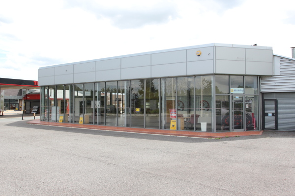
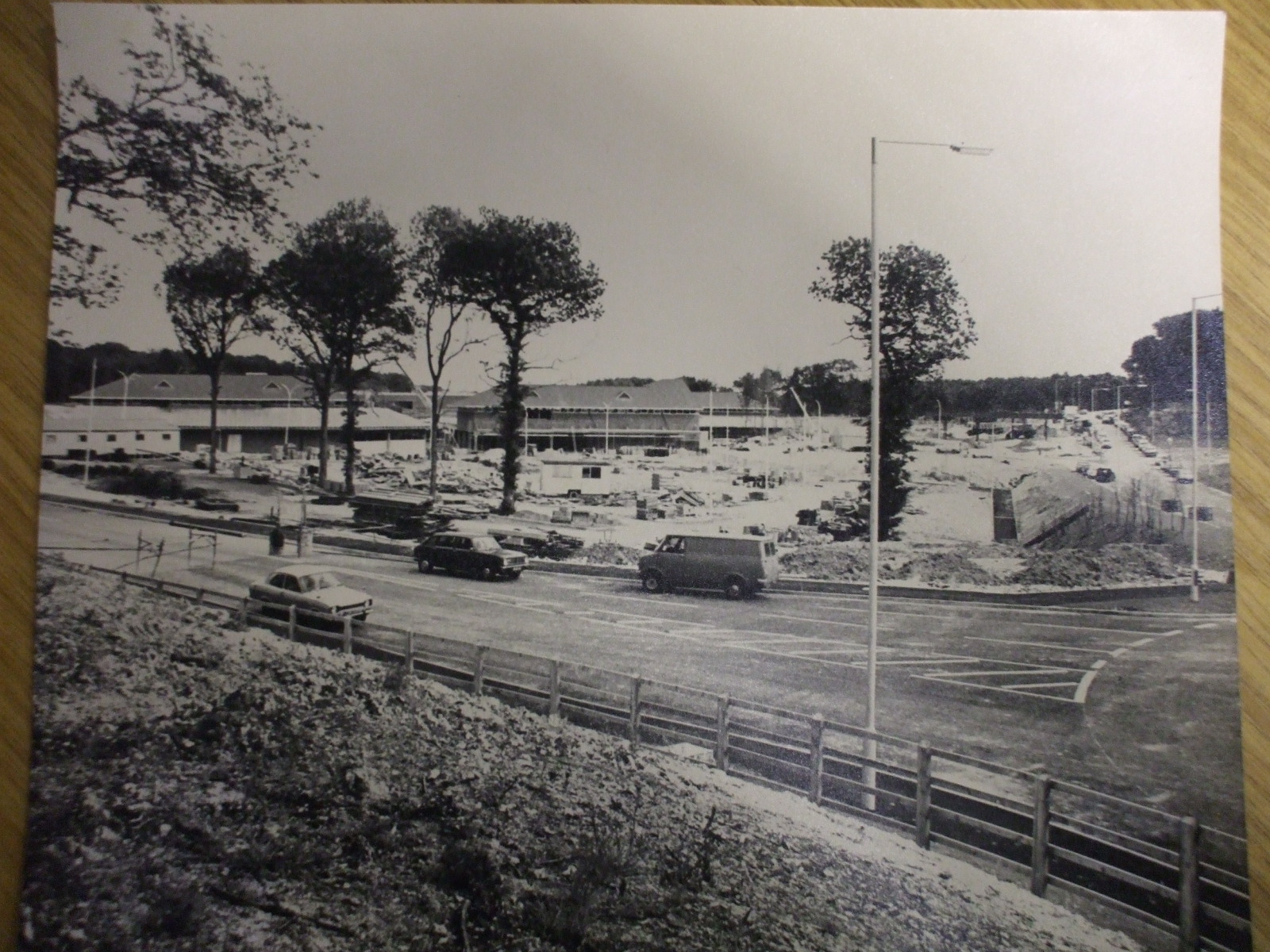
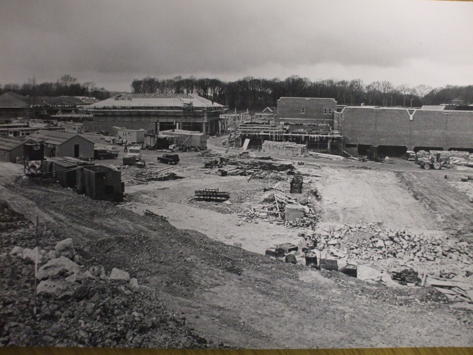
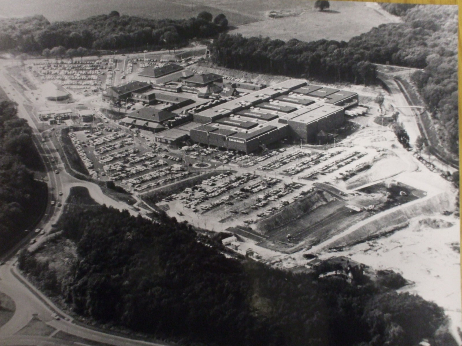
From Pump to Russett (sic)? Well in the last few years the buildings have been demolished, every last trace of Pump Farm's agricultural and industrial history swept away, and a housing estate of 25 units has arisen, their brick and timber construction paying, I suppose, some lip service to "tradition". And if the developers thought it appropriate to use the name Russet (t) Farm in acknowledgement to the apple orchards which Surround the site, and a particular variety to be found therein, then surely they could have got the spelling correct.


Stan Randall


THINGS AREN'T ALWAYS WHAT THEY SEEM by Freddie Cooper

Originally published in Action Forum, Aug 2005

One of my neighbours sent me the photo of the pseudo Tudor farmhouse which appears on the cover which she had found in her album, asking if I knew where it was located and when it was demolished. I immediately thought that I knew its location but when I studied it I wondered if, in the circumstances, it would have had a chimney and I didn't remember the wall. I satisfied my doubts when I realised that there were no outbuildings, any farmhouse from Tudor times would have needed ancillary outbuildings.

Many older residents will recall that this building appeared in the late 1950s or early 1960s in the field at the top of Twydall Lane in which the Mormon Church now stands. I was on Gillingham Council at the time and remember Mr Frank Thomas, a farmer who lived at Mill House, Windmill Road, above where that road used to join Chatham Hill, submitting a planning application for a residential farmhouse on the Twydall Lane site.

Mr Thomas became very irate when the application was refused and became involved in various much publicised protests which included exhibiting and painting large signs on the high wall facing Chatham Hill which so many saw on their journeys to and from work. Eventually he erected the structure as shown in the photograph which was very realistic but used solely for storing hay, straw and other agricultural purposes which required no planning permission.
The building was probably about 100 yards beyond the western boundary of Rainham but it became a feature for many years until it was eventually demolished when the site was developed.

Freddie Cooper

Christmas in Rainham in the 1950s

Sadly Christmas in Rainham appears to be much quieter these days with only the dull street decorations and in contrast the colourful lights in the houses to remind us of this special time.

Christmas in the 1950s, for those involved in the Church, was always a time of organised carol singing round the village behind the Vicar's elderly Austin 7, towing a trailer upon which was tied an old piano. Choir boys and girls in their surpluses followed the trailer with the Sunday School Staff making up the rear including Miss List and Mr Dennis accompanying the piano on his squeezebox accordion. Some would carry improvised lanterns. It was I recall a very festive sight.


Another annual event at this time of year was the Sunday School Christmas parties at the Church Hall in Orchard Street. The Vicar, the late Rev Jordan, nearly always played the part of Father Christmas. One year I remember he wasn't able to do it. Miss List who always organised such events with military precision asked me to be Father Christmas. Dressed in the time honoured way, Miss List said make a lot of noise as you enter the stage by the back door, then she continued 'I can tell the little ones that Father Christmas is coming'. After being duly announced by Miss List I began to hand out the presents. The remarks of those little children, who must be in their 60s now, as to who Father Christmas really was still make me smile. 'It's the Vicar' 'No it's not, it's Mr Cumberworth from Ivy Street' 61 think it's Mr Dennis from Station Road' said one little girl, 'No it's not said another 'He's too tall.' One little girl, I recall said it all 'it really is Father Christmas.'
Happy memories of old Rainham


John K Austin School Master (retired).


PARLIAMENTARY RECOGNITION FOR RAINHAM
by Freddie Cooper Aug 2004


The announcement that the Boundary Commission has recommended that the Parliamentary Constituency of Rainham will, after the next General Election, be known as Gillingham and Rainham will give Rainham its long overdue recognition and be welcomed by many residents.

Gillingham Borough Council embraced the area administered previously by Rainham Parish Council from 1st April 1929 under an extension of the Boundary Act 1928. That covered an area from the River to Bredhurst and from South Bush Lane to the back garden fences of the houses on the western side of Edwin Road, up through Springvale towards Bredhurst on a line which now would pass through the Church land in Drewery Drive.

Rainham had previously been on the extremity of the western boundary of Milton Regis Urban District Council and part of the Parliamentary Division of attachments were to the east and Rainham news was reported in the 'East Kent Gazette' and 'Kent Messenger'. From 1906 until 1926 we had tram connections to the Medway Towns but through history we had been Men and Maids of Kent whereas Gillingham residents were Kentish Men. It is clear to me that the Municipal and Parliamentary boundary previously referred to, rather than the River Medway, was the actual boundary between the ancient Kingdoms of East and West Kent.

Seventy-five years ago Gillingham wanted room to expand now it is estimated that Rainham has half the population of its previous parent borough.
Mr Clark says that he hopes that the ancient enmity between the two halves of the borough will now cease but I fear that this is unlikely to be realised whilst those on the eastern extremity feel that, despite all the endeavours of their representatives, they are `the forgotten outpost of the new Empire'. It was always thus even when Gillingham Council were our masters except when two of its most senior officers lived with us, we got quite a lot done in those few years, including Cozenton Park! Although I accept that members determine the level of rate income I believe that Officers mainly decide the priority of expenditure and I can only hope that with Parliamentary recognition, they will now realise that a very significant number of ratepayers live in the `Outpost'.

I am sure that Mr Paul Clark, MP, had parental encouragement to include Rainham within the Constituency's name for many of his ancestors rest within the Parish. I knew all those back until his maternal great grandparents, Mr and Mrs Alfred Thomas Warner, who lived in Lime Kiln Cottage, an old bungalow adjacent to his wood yard in Maidstone Road (then Bredhurst Lane) between Harvey and Nursery Roads.

Freddie Cooper


The Bargain House came to Rainham in 1924. In the photo below of Rainham High Street in 1925 The Bargain House can be seen on the left hand side opposite the White Horse pub.

In the photo below of Rainham High Street in 1925 The Bargain House can be seen on the left hand side opposite the White Horse pub.

Mr Bays, the grandfather of Jonathan Baynes who now manages the Gillingham shop in King Street, came to Gillingham in 1910 and opened his first shop in Burnt Oak Terrace. The move to Rainham expanded the business and replaced a similar shop on this site owned by G. Hooker. The Bargain House was quite a feature in pre-war Rainham having a prominent position in the centre of the village. The building was far from attractive – the roof was corrugated iron – but it was one of the most useful places. The shop stocked a whole range of hardware, it had wicker baskets hanging outside and tin buckets and baths full of blocks of soap and packets inside. One Rainham girl, Miss Betty Fullager, started as an assistant in the shop at the top of Station Road on leaving school in 1926 aged 14 and stayed with the same business all her working life transferring to Gillingham when The Bargain House closed and only retiring from the King Street shop in the late 1970s. Betty Fullager was better known to her contemporaries as Sugar Fullager, the nickname given to her when she first joined I st Rainham Guides. The shop prospered in Rainham, only closing when the land was purchased by Barclays Bank to build their grand new building in 1936.

The Bargain House Rainham

Greens of Rainham/Medway Mercedes

Greens of Rainham was one of the main car dealers in Rainham located on the A2 at Moor Street on the same site as Medway Mercedes and Texaco garage. It closed in December 2008 and the site has been empty since then.

It has been announced that Greens of Rainham, the Vauxhall car dealer has been placed in administration. The Greens Vauxhall showrooms in Rainham and Snodland have been empty for several months so the confirmation was no great surprise locally. Sadly some 70 Greens of Rainham employees lost their jobs having been left in limbo since December when they were last paid but without being given any information until now about the fate of the company.


As of 2021 the showroom side of the site has been taken over by Medway Hyundai car dealers, the petrol station is still closed but now selling second hand cars and the former Medway Mercedes building is showing signs that it will become a wedding venue.

Greens of Rainham Vauxhall Dealer Closes

Medway Mercedes/Medway Autos/Texaco Garage Rainham

Greens of Rainham Vauxhall Dealer A2 Moor Street

Greens of Rainham Vauxhall Dealer

Photo of Greens of Rainham Vauxhall Dealer

Photo of Greens of Rainham, former Vauxhall Dealer on A2 London Road, July 2010

Greens of Rainham Vauxhall Dealer

Price of Petrol 2008 Greens of Rainham Vauxhall Dealer
Price of Petrol when Greens of Rainham closed in 2008 was £1.139 per litre - surprisingly little different to recent prices in 2021

Greens of Rainham showroom interior, July 2010

Greens of Rainham showroom interior, July 2010


Medway Mercedes, Greens of Rainham Vauxhall Dealer

Medway Mercedes/Medway Autos


This news would appear to confirm the depth and severity of the current recession by claiming a dealership that has successfully survived many previous recessions and downturns.

[information from Medway Messenger]

Hempstead Valley Shopping centre (aka Savacentre) near Gillingham Kent was constructed in the late 1970s just outside the village of Hempstead. It opened on 17th October 1978 so has celebrated its 30th Anniversary in 2008. These photos showing the construction of Hempstead Valley were kindly sent by Chris Shade. You can see the large sign showing the original name of Savacentre. A current photo of Savacentre is shown on the Hempstead Valley website

There is currently (2010) a proposal to redevelop the Hempstead Valley shopping centre to modernise areas of it. You can view the proposal on the Hempstead Valley website here When it is completed in 2015 it will make a huge difference to the appeal of the centre as a shopping destination.

What may seem commonplace now was groundbreaking in 1978 as there were very few other out of town shopping centres of this size at the time. Hempstead Valley was the second Savacentre (Washington Tyne & Wear opened in 1977). At the time of opening Savacentre was one of the largest out of town shopping centres in the South East. The original Picnic Parlour was the first Food Court in the UK. You can see more info about Sainsburys Savacentre here

When originally opened the main shop was Sainsburys Savacentre, the brand they originally created for their large hypermarkets. At the time Sainsburys was by far the largest supermarket in the UK with Tesco trailing far behind – a far cry from the current situation with Tesco leading the field. The originally Hempstead Valley offered 250,000 square feet of shopping space but when the centre was redeveloped in the early 1990s with an extension and new shops like M&S being added, this was increased to 330,000 square feet.

The challenge is to remember all the original shops that were there when the centre opens….Sainsburys, Presto (which then became Safeway) - but which others?
So far the following shops have been suggested for the original opening

NSS (Newsagents) then became Forbuoys
Our Price
Post Office (not one of the original shops)
Sainsburys Savacentre
Boots
Thomas Cook
Presto Supermarket
Wimpy Burger Bar
Spud-U-Like

Later additions when the extension was added in early 1990s were WHSmith, Marks & Spencer.

Notice in the aerial shot the area to the bottom right which was developed for large housing estates shortly after the shot was taken.

Photos on this page are clickable to view higher resolution versions.

Savacentre, Photos of Hempstead Valley Shopping Centre 1978:Looking towards Savacentre Hempstead Valley from roundabout Above: Looking towards Savacentre Hempstead Valley from roundabout. Petrol station would be to middle right of photo

Photos of Savacentre Hempstead Valley Shopping Centre 1978:Looking towards Hempstead Valley from Sharsted Way

Above: Looking towards Hempstead Valley from Sharsted Way, Underground car park to right of shot, Abbey to left of shot

Photos of Hempstead Valley Savacentre 1978

Above: Looking towards Hempstead Valley from roundabout. Petrol station would be to middle right of photo

Photos of Hempstead Valley Shopping Centre 1978: Looking towards Hempstead Valley from Sharsted Way

Above: Looking towards Hempstead Valley from Sharsted Way. Underground car park to right of shot, Abbey to left of shot

Aerial photo of Hempstead Valley Savacentre 1978

Above: Aerial photo of Hempstead Valley Savacentre 1980. Sharsted Way runs along left hand side of photo

The Story of Jezreel's Tower, Watling Street/Canterbury Street in Gillingham, Kent

Picture postcard view of Jezreel's Tower, Gillingham also known as Jezreel's Folly. The tower was built along Watling Street (A2) at Gillingham and the bus stop there is still named after the tower. You can find out more about the Jezreel's Tower here


Interior view of Jezreels Tower

This structure, started in 1886 was the home of the Jezreelite sect (founded in 1875 by James White or Jezreel) remained unfinished and was demolished in 1961. Photo from Medway Council. (Couchman collection DE402, Medway Council)

Photo of Jezreels Tower Gillingham 1905

Photo from Martin Smith.

LCP Autoparts on Canterbury Street

One of the remaining Jezreel's buildings at the top of Canterbury Street, Gillingham was demolished in 2008. LCP Autoparts occupied the building that was previously the Jezreel's Hall on Canterbury Street. The site remains empty as of 2017.

Below you can see the similarity of the brickwork at the top of the roofline compared to the original tower. Photo from Mark at Medway Lines of Jezreels building LCP Autoparts Canterbury Street Gillingham.

Jezreels building LCP Autoparts Canterbury Street Gillingham

This is an article about the Jezreels Tower printed c1920 in the Chatham Rochester and Gillingham News, the local paper of the time. Unfortunately the paper is quite faded so it not possible to easily convert to text using OCR but these are high quality scans on the pages. Click on each section to view a high resolution version.
Article about Jezreel's Tower Gillingham Kent c1920Article about Jezreel's Tower Gillingham Kent c1920

Map to show location of site of Jezreels Tower in Gillingham

The Ever Changing Face of Rainham: Rainham Mark, Belisha Beacon, Hop and Vine pub, Rainham Kent Photos

Change in our Environment is a constant and continual process. Even in the short time that this site has been running many changes have been seen. An example is from some shots taken in Rainham Mark in 2003 for use with the Time Machine pages. Since they were taken the Hop & Vine has been refurbished, the petrol station, Post Office and newsagents have closed.

This area is a perfect example of how change in the urban environment is a never ending process. Since the article originally written in 2005 the area has changed further. As of November 2010 the Hop and Vine pub has closed down and the site of the former Shell/Texaco petrol station remains derelict despite various attempts to obtain planning permission for alternative uses. The former Rainham Mark post office remains empty and the newsagent has now been converted to an Osteopath surgery.

hop vine pub rainham mark belisha beacon

December 2010 - Hop and Vine pub Rainham Mark, now boarded up with former Rainham Mark post office and Shell/Texaco petrol station in distance

Jonathan Lawson, managing director at pub chain Greene King, confirmed it no longer owned the Hop & Vine building. He said: "We can confirm that the Hop & Vine has been sold to London-based development company Zaan. "Community pubs are very much at the heart of our business. Sadly, the Hop & Vine is restricted by its size and therefore has limited development potential as a pub. "After careful consideration, we reluctantly concluded that it is in the best interests of the community to accept an offer for the premises. "We would like to reassure the people of Rainham that we are committed to the area and continue to welcome customers at our nearest local pub, The Cricketers on the High Street."

The Hop and Vine was originally known as the Belisha Beacon pub. More info about the origins of Rainham Mark can be found on the website below

http://www.medwaymemories.co.uk/men_of_kent.htm


Rainham Mark post office, Shell Garage

2003

Hop & Vine pub in foreground, Rainham Mark Post Office, Newsagents and Texaco petrol station in background. This was previously a Shell garage and changed hands in the late 1990s. Note post box in front of Rainham Mark post office.

Hop and Vine Rainham 2005

2005

Hop & Vine pub in foreground, Rainham Mark Post Office now closed and post box removed, Newsagents closed and has become Osteopath surgery. The Texaco petrol station in background has now closed and the former Shell garage colours can be seen on the roofline.

hop and vine rainham closed down

2010

Hop & Vine pub in foreground has now closed, former Rainham Mark Post Office remains empty. The Osteopath surgery is now the only remaining occupied shop in this block. Further along Sophisticuts hairdressers remains open.

Some Pictures and Notes from John Godfrey

Probably taken in the late 1940’s, at Wakely’s hop garden, near Hartlip Hill. The lady rear left is Mrs. Tutt, who lived at 38 Ivy Street in Rainham. On her left is her eldest daughter Ivy Coleman, to her left is her daughter Pamela. They lived at 38 Asquith Road in Wigmore. The ‘herbert’ on the left is John Godfrey, who lived at 330 Maidstone Road. In September 1955 Pamela and John were married in St Margaret’s parish church in Rainham.
Mrs. Tutt, who lived at 38 Ivy Street in Rainham

This too was taken at Wakely’s in about 1945. On the left, a younger Pamela Coleman is busy ‘scratching them off’. In the centre Daisy Roper, daughter of Mrs. Tutt (above) nurses her daughter Eileen. The identity of the young lady on the right remains a mystery.


A photograph of St Margaret’s, in Maidstone Road, Wigmore. This was the first photograph that I took on a Kodak 127 camera and processed the film. I guess it was taken in the summer of 1946 when we lived at the bungalow opposite St Margaret’s, No.330. I understand that prior to the outbreak of WWII, St Margaret’s had been a tearoom. The post to the right of the picture perhaps advertised the fact, I cannot remember. However I do remember them selling fresh produce during the summer months, including some very tasty tomatoes. The grounds extended to the then border of the church path.

St Margaret’s, in Maidstone Road, Wigmore

THE GREEN LION PUBLIC HOUSE by Hazel Staden

Photo of Green Lion Public House Rainham Kent c1900
Photo of The Green Lion Public House Rainham Kent around 1900

Photo of The Green Lion Rainham 2006
Photo of Green Lion Rainham Kent in 2006 with Rainham Church in background


My husband and I ran the Green Lion public house from 1968 to 1986 and during the many alterations we had there it was discovered that the building was at least six hundred years old, This was confirmed by an environmental officer who we called down and by looking at the roof timbers he confirmed it was fourteenth century; that was in 1969. In the cellar there is an archway bricked up and
when the home in between the pub and the church was built the workmen uncovered a passageway that ran from the cellar to the church. When the tiles on
the roof were removed in the 1970s workmen discovered a ‘priest hole’ with several clay pipes and an old rickety bench in it. We assumed people hid there to escape the authorities, as the Green Lion was an old coaching house and this makes sense.

Annie Kitney, who used the pub from the age of eight years until she died well into her 90s, told us that the highwayman Dick Shepherd was captured in the bar of the Green Lion and a plaque was in the bar commemorating this but we never found it. We were also told he was hung at the top of Berengrave Lane. In the first years of our tenancy we used to do overnight accommodation and one of our clients, on his first visit to us was convinced he had seen a ghost of a woman in his room and it frightened him so much that, although he stayed on several occasions, he would never go into that room again. In the end we called for someone to exorcise the rooms on the top floor but they always remained very creepy.

Before the Second World War the back of the public house was a bowling green. This was dug up to help with the war effort. In those days it was known as the Green Lyon. When the front of the Green Lion was redecorated in 1973 they discovered a fire mark from Sun Alliance dated 28th February 1790. We wrote to the company and they sent us a copy of the original entry which gives the name of Peter Hard as the victualler. For his household goods in the dwelling part only and for the brick and tiled building the insured sum was £330.00. Utensils and stock therein only £30.00 Wearing apparel therein £30.00 Plate therein only £10.00 TOTAL £400.00 and duty on that sum 6d.

I think the Green Lion must be one of the oldest buildings in Rainham and I expect it could tell quite a few tales if only the walls could speak.

Hazel Staden

From Action Forum June 2004

Photo of The Green Lion in 2001


COUNCIL ACQUIRES EAST HOATH WOOD

by Freddie Cooper

A recent newspaper report indicated that 25 acres of East Hoath Wood is to be ‘transferred’ to Medway Council on April 1st 2003. Although the area has been available for use by residents for as long as I can remember, the report indicates that safety work and fencing etc costing in the region of £60,000 is necessary before the woods can be used for recreational purposes.

Photo of East Hoath Woods Rainham in 2003

It is said that the woodland, mainly sweet chestnut and oak, supplied wood for shipbuilding as far back as Nelson’s time and although I cannot confirm that, it is obvious that this area, together with much of the land in the vicinity, was owned by the War Department a century ago. East Hoath Wood is bounded on one side by Hoath Lane, and to the east by the gardens in Edwin Road. The path, leading from Durham Road which comes out opposite the stile giving access to the Darland Banks, has become a very popular walk over the years. I don’t remember these woods containing very large trees like those in the Parkwood area, where there were some magnificent oaks and beeches, but then my woodland roaming ended 70 years ago. I imagine that Hoath Wood, like most others, was regularly coppiced because chestnut was so useful and profitable as a crop for the purpose of chestnut fencing, which was later superseded by plastic covered chain-link wire. I remember three wood yards in the Rainham area alone; there was Stan Huggins in Wakeley Road, Alf Warner in Maidstone Road and then Glovers in the Wigmore/Maidstone Road area, and until very recently Woods in Bredhurst. I must check to see if ‘Woodreeve Cottage’ is still in the loop section of Mierscourt Road.

The boundary between the Milton Rural District Council’s area and Gillingham ran south from the A2 along the line of the rear garden fences on the western side of Edwin Road and it then formed the ancient boundary between East Iloath Wood and Mark Oak Wood. This was the parliamentary boundary when Rainham was part of the Faversham Division and Adam Maitland was our MP. Rainham’s Parish Council administered the area from the river to Bredhurst. This boundary line at Rainham Mark turned sharply westward for about 200 yards from near the Hop and Vine public house and then turned northward to the river, running roughly parallel with Twydall Lane. I believe that this was the boundary which divided ‘Men of Kent’ from ‘Kentish Men’, for Edward Hasted, in his description of Rainhani in 1798, says ‘the whole of this parish is in the division of East Kent which begins here and the adjoining parish of Gillingham westward is wholly in that of West Kent’. It has always been my view that this is the origin of ‘Men of Kent’ and ‘Kentish Men although it was necessary to identify it more e~ the River Medway was chosen as the boundary 1908 map clearly shows that the land immediately to the east of Hoath Lane back to the boundary II cleared, presumably by the War Department, to the point roughly where the present factories c and much of the remaining area including Edwin Road, Marshall Road and all of the area to the was woodland. An area of Platters Farm, which reached by the track immediately opposite the Pump Lane on the A2, had been cleared and was used as orchard land.

Photo of East Hoath Woods viewed from Hempstead Hill 2003

I presume that East Hoath Wood was purch the Health Authority soon after its creation in when it was obvious that the area would need district hospital. Nothing happened for many but in the earlyl96Os some of us in local gove realised that St Bart’s and All Saints’ hospitaL totally incapable of serving the area in a satisf manner, so we pressed for the use of the Roya hospital which had then been recently vacated now known as the Medway Maritime hospital following the recent extensions is apparently considered to be adequate as the permanent di hospital, so the site at East Hoatb Wood is sw requirements. Some time ago the Regional Hc Authority applied for permission to develop tl for housing, but planning permission was reft presume that they have now decided to union area which has become a liability and probabl inadequate for a district hospital anyway.

I notice on reference to the plan that the wood type area between Hempstead Hill and Hoath was at the early part of the last century called Scrubs’, which is new to me. This area too, the best of my knowledge, is also owned by the Healt Authority as it was the site of the Alexandra 1 for infectious diseases, which although littlei quite a history. Infectious diseases were very prevalent in the early part of the l900s and in small isolation hospital was built on the site occupied by the Municipal Buildings in Cant Street, Gillingham. Smallpox was one of those diseases which many people feared and most were vaccinated on the arm and we bear marks to this day, because the small vaccination has grown until some are now about two inches across. However, in 1901 a man named Mallen was visiting the area and contracted smallpox which caused consternation because they did not wish to keep him at the newly created isolation hospital in Gillingham and sent him out to a caravan and tents in the Hempstead area where the population was still sparse. Unfortunately, Mallen and several others died from the particular outbreak, and it became apparent that a more permanent isolation hospital was necessary for Gillinghan,. Scarlet fever and diphtheria were vety common at the time and Rainham patients needing hospitalisation were sent to Keycol hospital as we were still part of the Milton Rural District Council’s area. The triangular piece of land between Hoath Lane and Hempstead Hill which comes to a point near the roundabout was owned by Mr R. Batchelor, the artesian well engineer who lived at Darland House, and he donated the land to the Gillingharn Local Board (the predecessors of the Council) on the condition that it was used for health pusposes and the isolation hospital was named Alexandra. 1 presume that the covenant has restricted its use, which is possibly why it has remained unoccupied and to some extent derelict, with a supporting wall down Ilempstead Hill which may become a liability for its maintenance. The hospital was erected on the northern side of the road which went from Hoath Lane down to the bottom of Hempstead Hill a long time before the tunnel was built. This was a prefabricated metal hospital (corrugated iron) purchased from Humphries Isolation Hospitals at Knightsbridge. It was opened in 1902 and closed in 1940 when it was prepared for emergency use during the war, but I understand was never used. Greens of Brompton demolished the hospital in the 1970s and the land seems to have been unattended since. It may be that the welcome donation by Mr Batchelor 100 years ago is now a liability to the Regional Health Authority

Freddie Cooper

Subcategories

Historical tales

Rainham Life

Local Events

Photos

Roads around the Rainham - old photos of how roads used to look in days gone by

Old photos by decade

Action Forum is a free monthly magazine that is distributed to the Rainham area covering Wigmore, Parkwood and Hempstead as well. This archive covers old copies of the magazine dating back to its initial publication in 1969 and give a fascinating glimpse into life in Rainham over the last 50 years.

Link to Article Index - Action Forum Index - Photos and Articles from 1969 onwards

Action Forum 2024 magazines

Action Forum 2023

Action Forum 2022

Action Forum 2021

Action Forum 2020

Action Forum 2019

Action Forum magazines from 2018

Action Forum 2017

Action Forum from 2015

Action Forum magazines from 2014

Action Forum 2013

Action Forum 2012

Action Forum magazines from 2011

Action Forum magazines from 2010

Action Forum magazines from 2009

Action Forum magazines from 2008

Action Forum magazines from 2007

Action Forum magazines from 2006

Action Forum magazines from 2005

Action Forum magazines from 2004

Action Forum magazines from 2003

Action Forum 2002

Action Forum 2001

Action Forum - 2000

Action Forum 1999

Copies of Action Forum from 1991

Action Forum 1981

Action Forum 1975

Action Forum 1973

Action Forum 1971

The first year of publication

Link to Article Index - Action Forum Index - Photos and Articles from 1969 onwards

Text from Action Forum for Google indexing

Link to Article Index - Action Forum Index - Photos and Articles from 1969 onwards

Page 1 of 23

Free Joomla! templates by AgeThemes