Back in the 1970s and 1980s it was envisaged that the centre of Rainham would be bypassed so that traffic didn't need to queue through the section between Orchard Street, Station Road and Mierscourt Road. This was known as the Rainham Southern Relief Road and there was was another scheme - the Gillingham Northern Relief Road A289 & Medway Tunnel- that did go ahead with the Medway tunnel construction. You can see some of the old maps covering the Rainham area and the plans for the M2 here. The M2 was built in 1962/63 and this reduced a lot of traffic through Rainham but there was still a bottle neck around St Margaret's Church and Station Road where the road couldn't be widened.
The aerial view below shows the approximate route that the bypass would have taken.
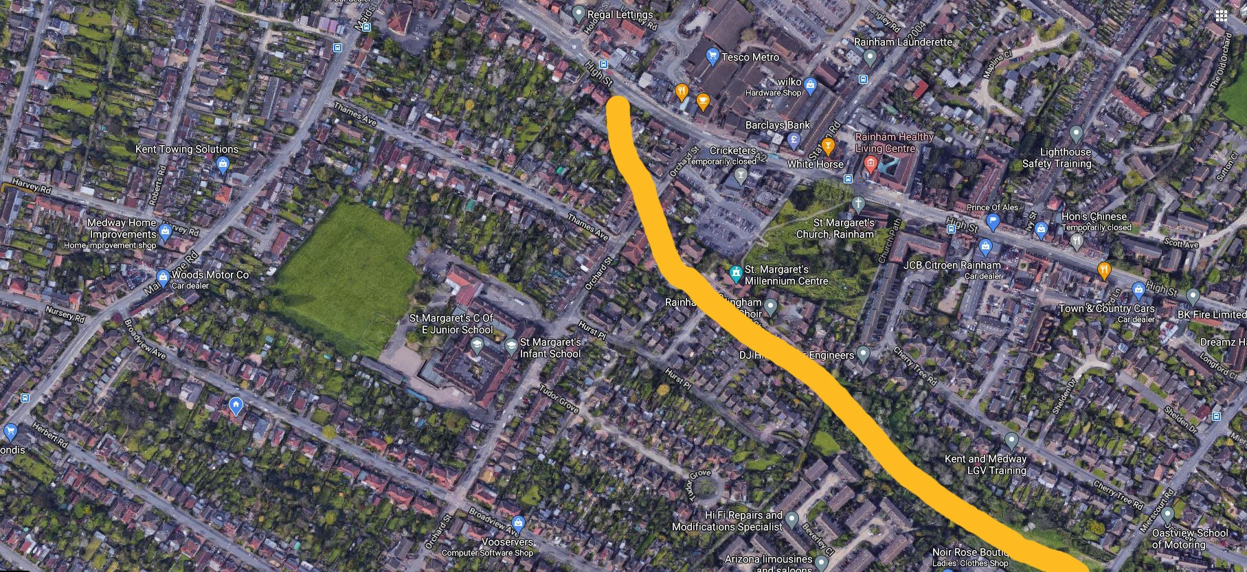
Photo below of old bungalow and former Lukehurst warehouse opposite Thames Avenue junction in 2001. These buildings have been demolished and this area has now been redeveloped as a block of flats

To enable a bypass to be created a corridor of land was acquired or kept undeveloped south of Rainham between Maidstone Road and Mierscourt Road that would allow a road to be constructed at some future point. For whatever reason this road never took shape and eventually the land was sold off which allowed the building of the Gatekeeper Chase, Rainham Millennium centre and various housing developments along the route where the land was undeveloped or retained. This also enabled the redevelopment of the old Rainham Church hall on Orchard Street/Hurst Place into flats as a result of the Millennium centre construction.
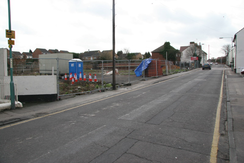
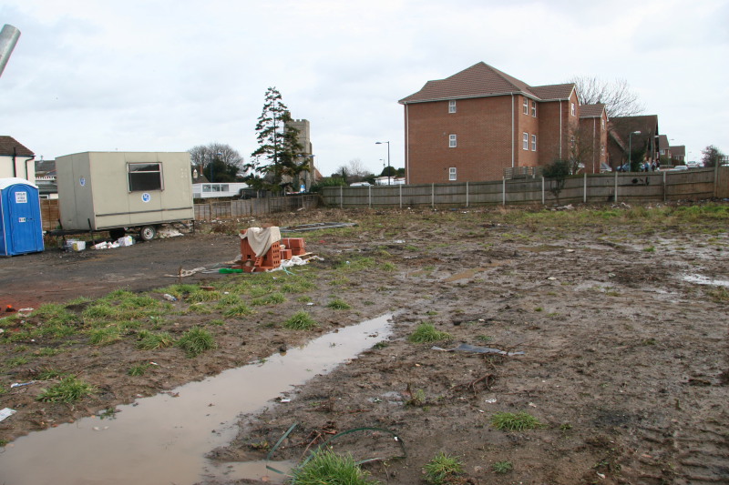
This was Orchard Street in 2003 when the buildings in the photo above had been cleared.
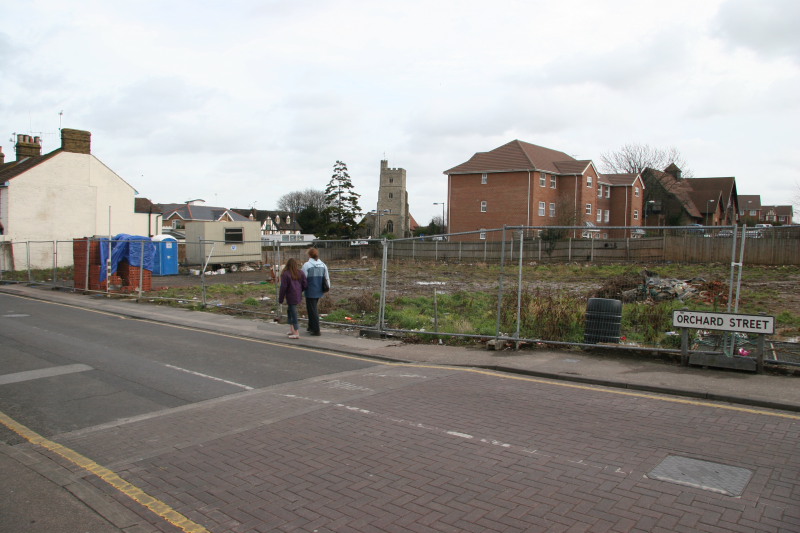
The start of the bypass would have been almost opposite Holding Street where there is now a new housing development in Ashurst Place. You can see the overgrown land to the right of the terraced houses in this photo.
View from the church tower looking towards Gillingham showing the route the bypass would have taken with the new housing development in centre shot.
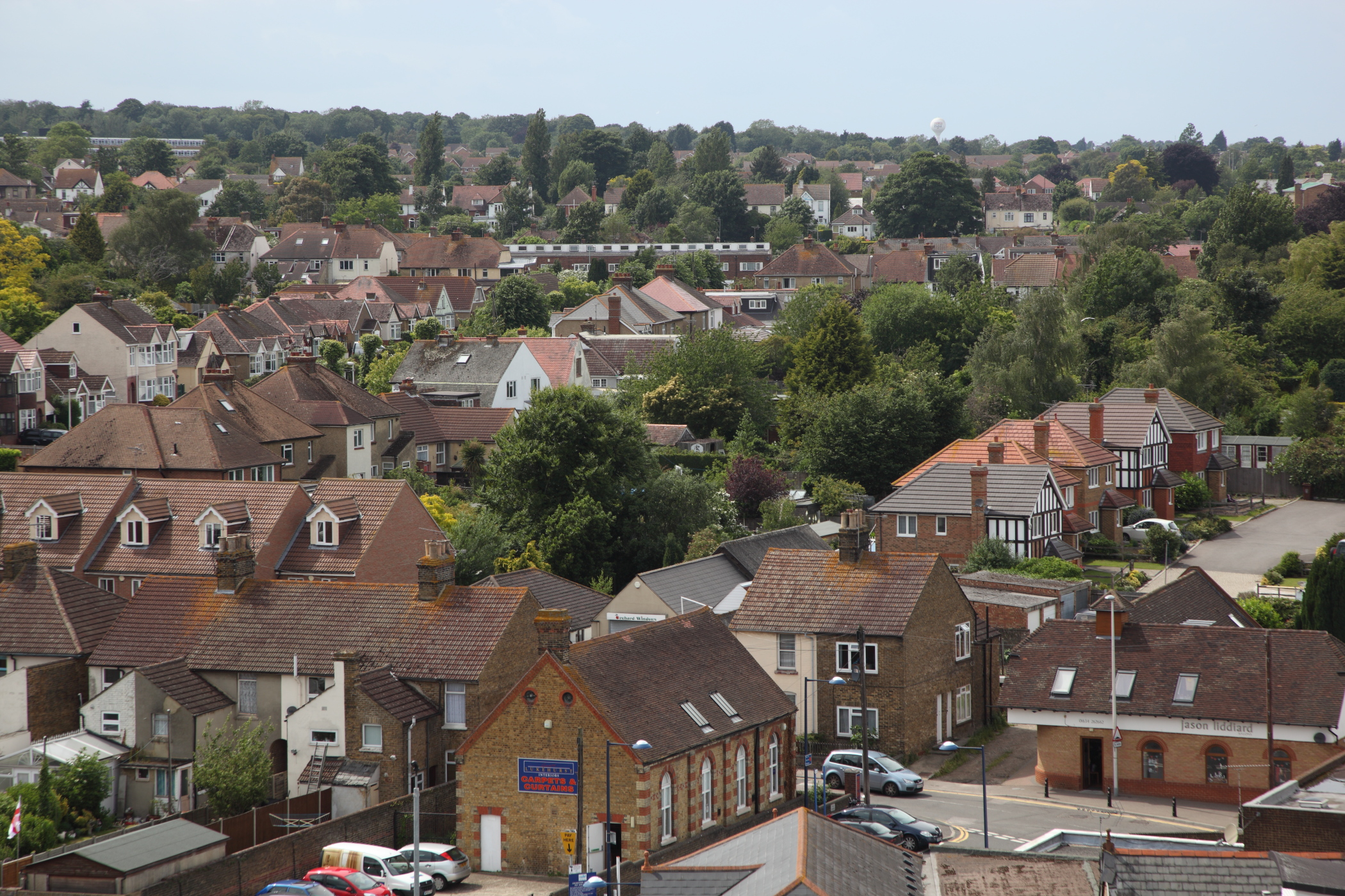
The Millennium Centre to the left and new houses in Gatekeeper Chase in centre and Ashurst Place off A2 to the right are very clearly visible in the photo below and mark where the route of the Rainham bypass would have gone.

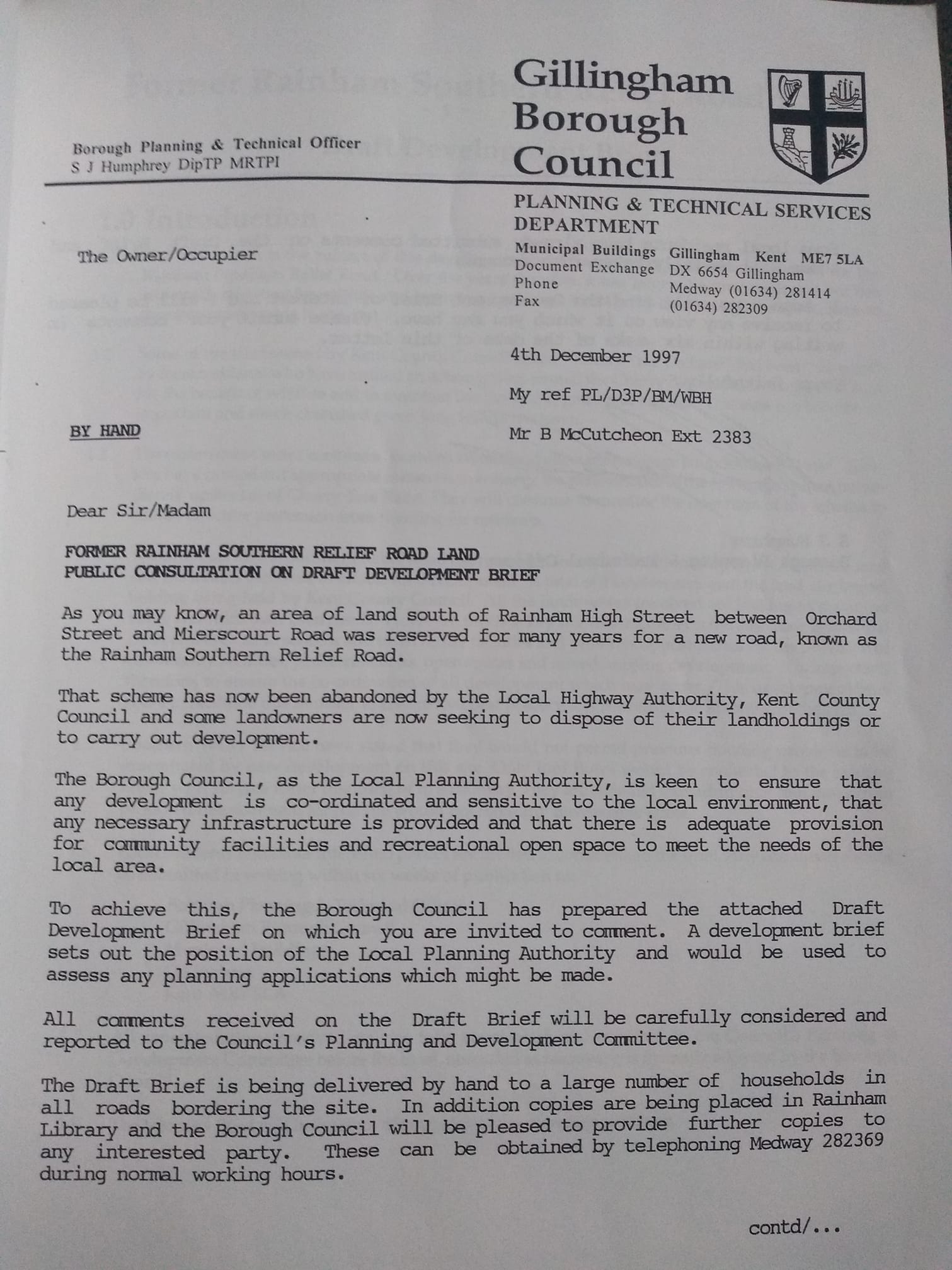
By 1997 the scheme had officially been abandoned and the land was being released for planning permission and construction of new housing.
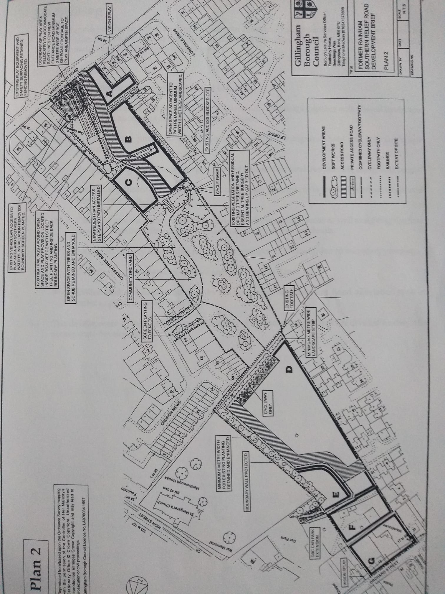
The proposed development included brownfield land between Orchard Street and Church path as well as orchard woodland between Church Path and Mierscourt. With the help of the newly elected Paul Clark MP the local residents managed to protect the woodland areas shown in the map below as A, B and C. However development in areas D, E, F and G did proceed which resulted in the Millennium centre in area E, Gatekeeper Chase in area D being accessed via Hurst Place and new flats on Orchard Street in area G and Gatekeeper Chase in area F.
New block of flats in area F visible from Orchard Street in 2003 before redevelopment of the plot labelled G. Millennium centre is visible in the distance behind the flats and St Margaret's church to the left behind the tree.
View up Orchard Street from A2 showing the development plot G with the new houses in Gatekeeper Chase to the left in distance.